 Correo Electrónico
 DNINFOA - SIA
 Bibliotecas
 Convocatorias
 Identidad UNAL


Based on data given by the Institute for Environmental Studies (IDEA, for its acronym in Spanish) from Universidad Nacional de Colombia in Manizales in November of 2008 (a percentage of 200 mm of rainwater was registered in three days, an amount equivalent to the rain average for a month), a study was consolidated as a reference point to improve the urban design conditions against rain parameters.
Such study is based on information given by the Weather Station Network, a project led by IDEA and supported by the Hydraulic Lab at Manizales campus and the Office for Disaster Attention and Prevention in Manizales (OMPAD, for its acronym in Spanish).
Among different results, the work, named Analysis of the spatial and temporal variability of precipitation in Andean mid-mountain cities, aims to be a supporting tool for the study of rain precipitation.
"The specific conditions in which precipitation occurs in Andean mid-mountain cities, such, as in Manizales, are essential for the development of projects for risk management, more accurate hydric modeling and a better dimensioning of the urban infrastructure works in general," explained Ana Cristina Cortés Cortés, civil engineer and student of the Environment and Development Master program at Universidad Nacional de Colombia in Manizales.
Likewise, it is evident that some homogeneous zones of rain variability are possible to be identified, such as El Carmen, Ingeominas, Hospital and Postgraduate stations.
These analysis are under evaluation; however, the author expect them to be "the first step to carry out a future investigation in which intensity curves of frequency of rain per zone are performed, since they are a fundamental parameter for designing works of all kind, in which this phenomenon needs to be consider."
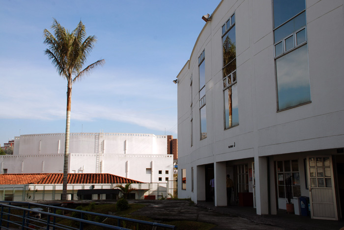
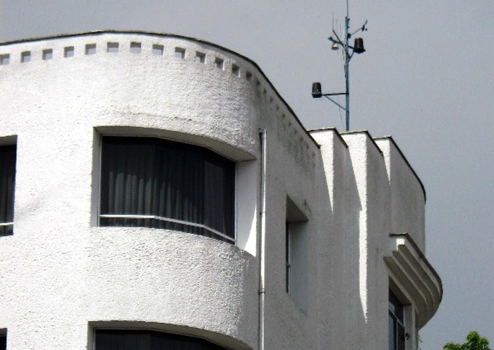
Currently, the Weather Station Network, at urban level, covers an area of 4 km2 with one station, 8 monitored variables, a collected data frequency of 5 minutes and quality of the record history. In addition, they count on support given by cities such as Pereira and Neiva, which have implemented environmental monitoring.
Sedes